|
| Click for larger version |
|
|
|
| CLICK FOR LARGER VERSION |
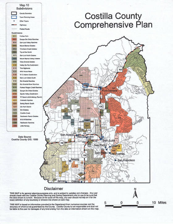
Detailed map of the area which gives a great idea where various properties are located |
|
San Luis Valley Ranches Plat Map - Overview |
SLVR area showing topographical features and units marked |
|
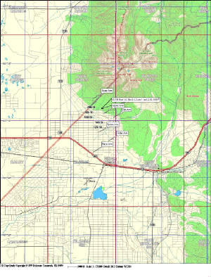
Click for AnyPlace America.com map Maker
CLICK FOR "MY TOPO.COM" to Build your Own Map
Clicking will take you to that site and will start with the town of Blanca in
the center of the map area. You can move it wherever you want. We have one of these maps and it is high quality
paper and very detailed. |
|
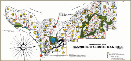
| CLICK FOR LARGER VERSION |
SDCR Map showing lettered units |
|
|
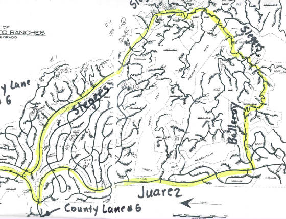
| CLCICK FOR LARGER VERSION |
The above map shows access roads to the central SDCR Area. Three or four miles to the south is Forbes,
one of the major alpine roads running as high as 11,000 feet, and to the north, there is Beekman, which
connects Trinchera Creek Road (the paved road) with US 160.
|
|
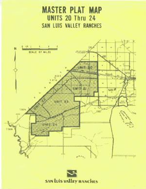
| SLVR Unit 20-24 Plat Map |
|
| Click for larger Version |
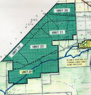
| South of Hwy 160- Units 20-24 |
|
| Click for larger Version |
San Luis Valley Ranches Units 20-24 - Overview |
| LETTERED UNITS IN SLVR |
|
|
| Click for a larger version |
|